top of page


ABOUT
The Problem
Agricultural carbon credits are difficult to track, and no centralized service exists to avoid double counting credits.

The Solution
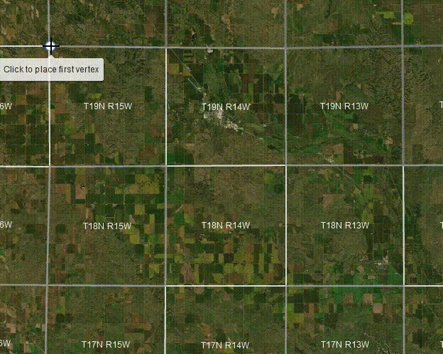
RegenStar provides a map-based interface to easily check if a given location has associated carbon credits.

Discover Land Associated with Carbon Credit Programs
-
Add carbon credit reports to the map by field
-
Search by state, county, township, or drawn boundary for overlapping fields linked to carbon credits
-
Identify which conservation practices are being sold as carbon credits and generate a PDF report
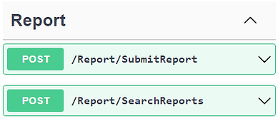
Use the Developer API for Streamlined Access to Data
-
Submit and check for carbon credit programs by location easily through the RegenStar API
-
Save important information about the parcel, landowner, and carbon credit program
-
Check for reports by submitting an area of interest


Clearinghouse
Ensure that agricultural carbon credits are unique and valid

CONTACT
bottom of page